Southeastern Idaho

Near
the Wyoming border is the "Big Hill", which had the reputation of being
the "steepest
and longest ascent we have made on the route ..." Another emigrant
descibed it as, "...had to cross a very high hill, which is said to be
the
greatest impediment on the whole route. The ascent is very long and
tedious, but the descent is still more abrupt and difficult." To make
the descent, the emigrants locked the wheels of the wagons using chains
or logs and held the wagons back by ropes cinched to trees.

A
photo of a re-enactment of the wagon descent taken in 2008. They didn't
have the benefit of trees to help slow the wagons, since the trees are
now gone.
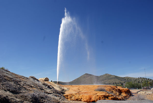
A
geyser at Soda Springs. A similar geyser near here was a landmark along
the trail and a source of carbonated water for the emigrants; that
geyser is now buried under a reservoir. This geyser was created
accidentally in 1937 when people drilled into the ground to get hot
water for a swimming pool. The geyser has been capped and controlled by
a timer; it goes off precisely on the hour. It is far more regular than
"old Faithful" in Yellowstone, but not as interesting or dramatic.

Fort
Hall, near Pocatello, was a Hudson Bay company outpost where emigrants
could get limited quantities of needed supplies and have repairs made.

The
original Fort Hall is no longer there, but the city of Pocatello built
a replica (seen here). Unfortunately, it doesn't open until Memorial
Day, so we were too early and were unable to enter it. We had to settle
for this picture of the exterior.
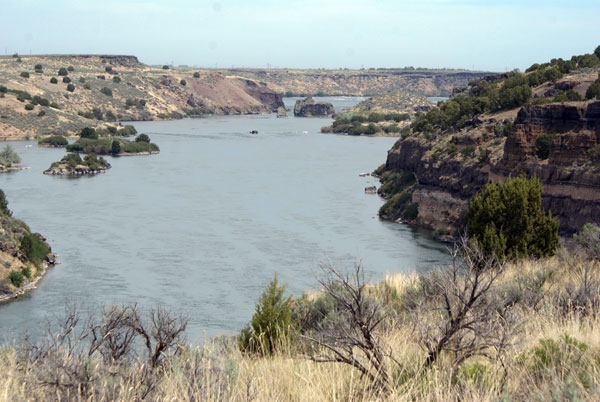
The
Snake River near American Falls. The trail was on the top of the
bluffs. following the southern shore. Traveling along the river, but
several hundred feet above it, with no way to get down to it to get
water for themselves or their livestock, must have been a big
frustration in this parched land.

A
trailside sign describing a typical day on the Oregon Trail. It was not
an easy life. Most people walked the entire trip; only the ill or very
young rode in the wagons. This was to lighten the loads for the oxen
pulling the wagons. Also, the wagons didn't have springs so the ride
was very uncomfortable and walking was actually easier.

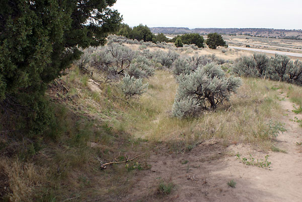
Wagon ruts and other traces of the old Oregon Trail can be seen at
several places, although they are difficult for the untrained eye to
spot, and are difficult to photograph in a convincing way. We have read
that there is a place in Wyoming where the topography forced the wagons
to follow the same track and, due to the soft soil, the ruts are quite
impressive. We missed those on this trip, so they will have to wait for
a later trip.
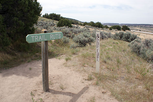
Wagon ruts near Massacre Rocks State Park.
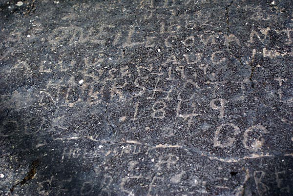
Many
emigrants wrote their names on rocks as they traveled along. This
160-year-old graffiti was at Register Rock near Massacre Rocks State
Park.