From South Pass to Fort Bridger
June 29-30, 2013

As the emigrants approached South Pass, they could see the Wind River
Range of mountains. The continental divide lies along the crest, which
53 peaks above 13,000 feet. Crossing the continental divide there would
have been impossible.
South Pass, which is to the south of the Wind River Range, is also on
the continental divide, but at only 7,500 feet above sea level.
Furthermore, it is not a pass at all, but a broad (30 mile wide) flat
area with a gentle slope and is easily crossed by wagons.Native
Americans had used it for centuries, but it was not discovered by white
people until 1812, when three men from Astoria found it on their way
east. They arrived in St.Louis in 1813 and reported the pass, but it
got little attention because the 1812 war with England was dominating
the news. It was rediscovered in 1824 by trappers.
Some historians have speculated that the history of our country would
have been very different if this accident of geography had not
occurred. Certainly the large scale westward emigration and expansion
would not have been possible.

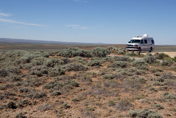
About 20 miles west of the continental divide is the "Parting of the
Ways", where the Sublette Cutoff, headed directly for Fort Hall, a
trading post in what is now Idaho. The original trail continued
southwest to Fort Bridger. Most emigrants to Oregon and California
chose the Sublette Cutoff since it was about 2 days faster than the
original route. The sign that Nancy is reading calls this the "False
Parting of the Ways"; the monument is placed about 10 miles from the
actual junction.

Trail ruts are still visible here.

Names Hill, along the trail, is another place where travelers scratched
their names. This is reported to be that of Jim Bridger, the mountain
man and trapper. However, he was believed to be able to neither read
nor write, so someone else may have written it for him.
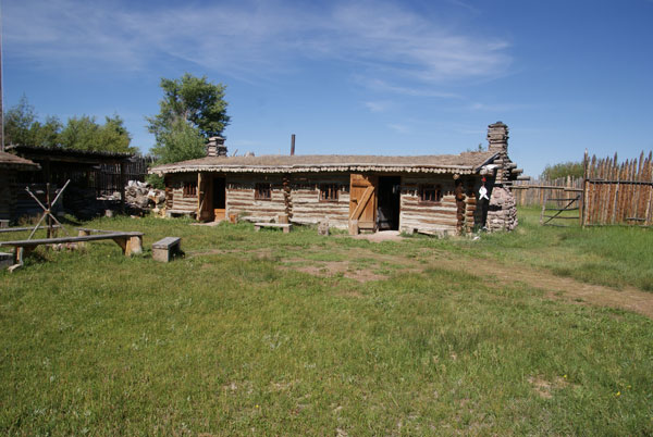
Fort Bridger State Historic Park contains a replica of the fur trading
post started by Jim Bridger in 1843. The Army bought it and expanded it
to military outpost, which was operational from 1858 to 1890.
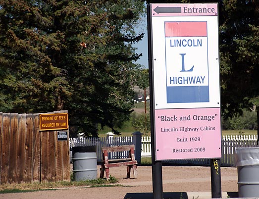
The last two photos have nothing to do with the Oregon Trail. The Lincoln Highway passed through here in late 1920s and 30s.
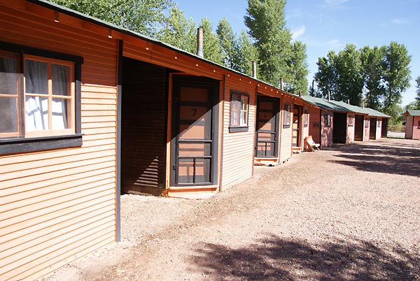
Fort Bridger contains these "black and orange" cabins for people
traveling the Lincoln Highway. They were built in 1929 and restored in
2009.
From here to where we picked up the Oregon Trail at Big Hill on the
Wyoming - Idaho border, there are no significant points of interest, so
we decided to end our trip along the Oregon Trail here and head
directly for Salt Lake City.