
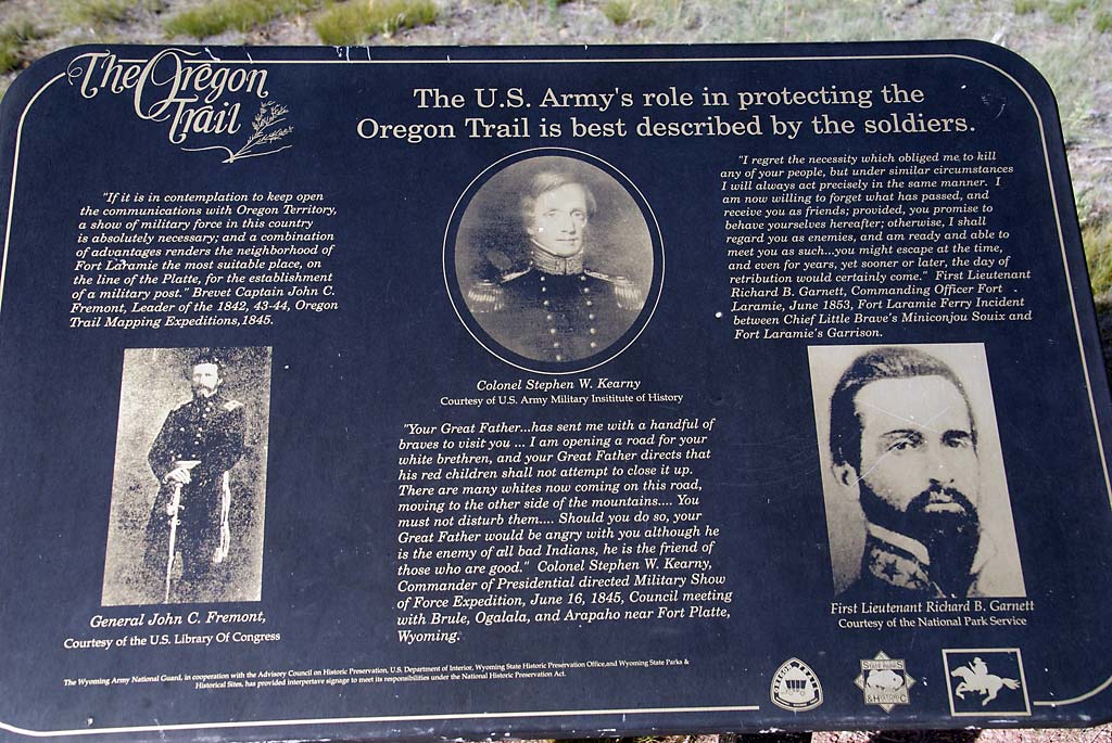
Fort Laramie, located on the Laramie River and near the North Platte River, was originally started as a fur trading post, but was purchased by the U.S. Army in 1849 to establish a military presence along the emigrant trails. It soon became the principal military outpost on the northern plains, and serviced the Oregon, California, Mormon Pioneer, and Pony Express trails, as well as the transcontinental telegraph. The fort was abandoned by the Army in 1874 and the buildings sold at a public auction.
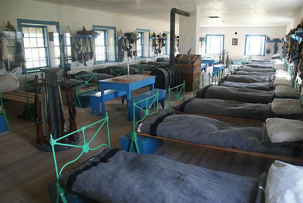
The cavalry barracks in Fort Laramie.
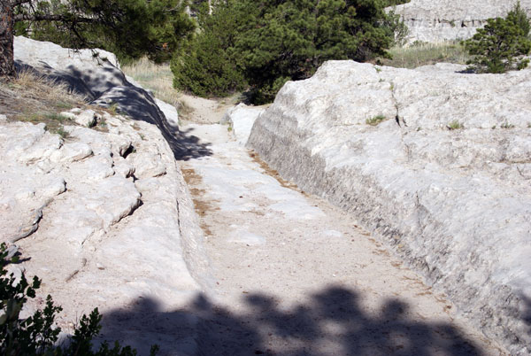
Oregon Trail ruts near Guernsey, WY. Here, thousands of iron-shod wheels and hooves chewed tracks five to six feet deep in limestone. The track you see is actually the width of the wagon. Whereas in the plains, the wagons tended to spread out so they weren't "eating the dust" of the wagon directly ahead of them, the topography in this area forced them to follow a single track, which caused the much deeper ruts.
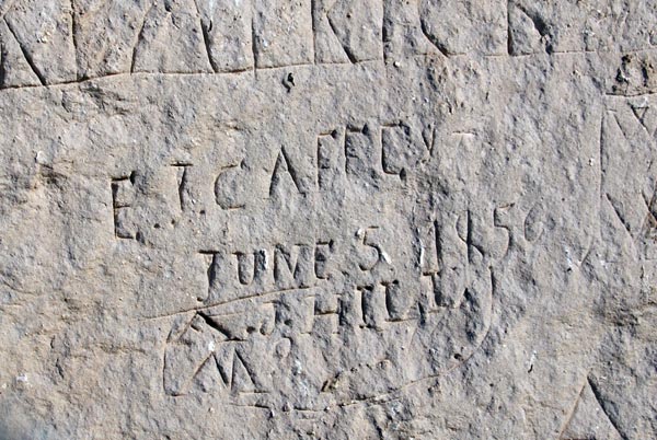
Nearby is a cliff known as "Register Cliff"; thousands of emigrants scratched their names in the cliff as a historical record that they were here. This name is dated June 5, 1856. Of course there are also lots of more recent names, as others have succombed to the temptation to add their names. I suppose you could call all of this "graffiti", but the emigrant names are considered of historical importance. Will the modern graffiti also be considered of historical importance some day?
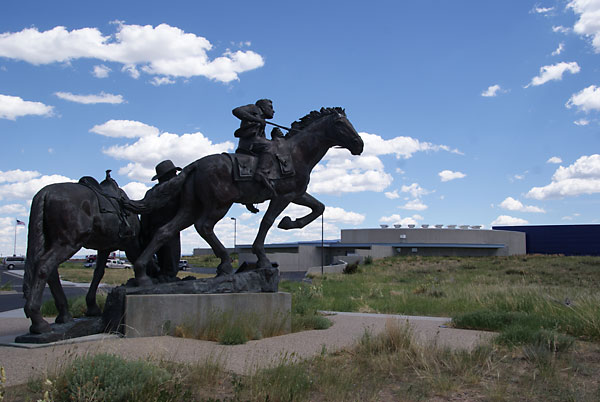
The National Historic Trails Interpretive Center in Casper, WY offers an entertaining and informative introduction to the emigrant trails. It is also free to those holding the Golden Age pass since it is run by the federal government. The statue in front depicts Pony Express riders.

The multimedia presentation involving still photos,video, and a diorama, gives a good overview of emigrant life on the trails.
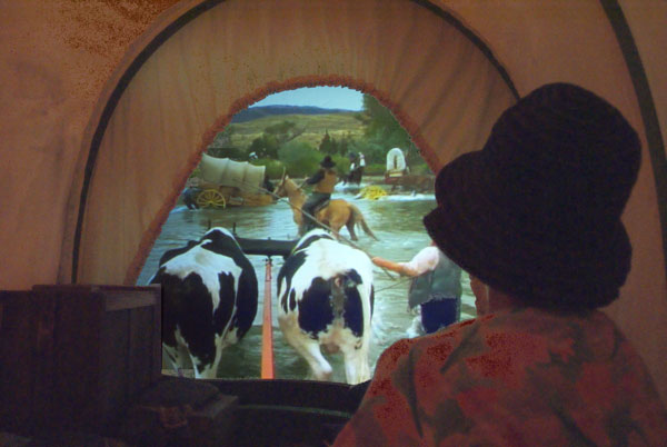
Another display involved sitting in a simulated covered wagon which rocked and bounced while you watched a video of a river crossing. It seemed quite realistic.
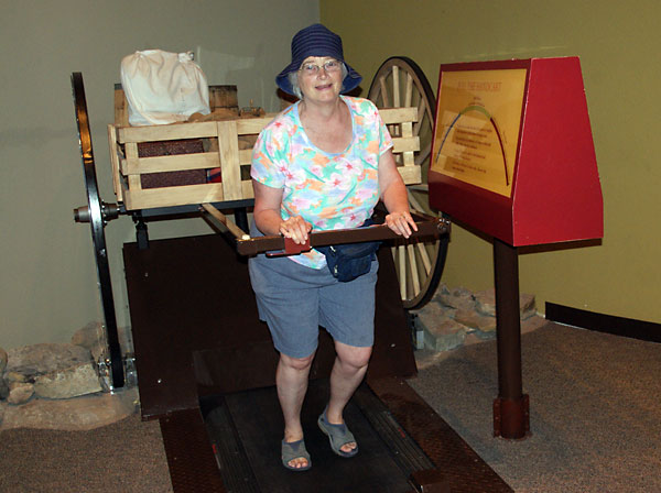
Nancy is testing her ability to pull a Mormon handcart while walking on a treadmill. The carts were typically loaded with 100 pounds while pulled by the Mormons on their 1300 mile trek to Utah. Pulling it was not easy.
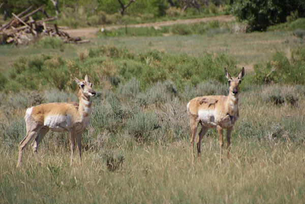
A couple of pronghorn spotted southwest of Casper.
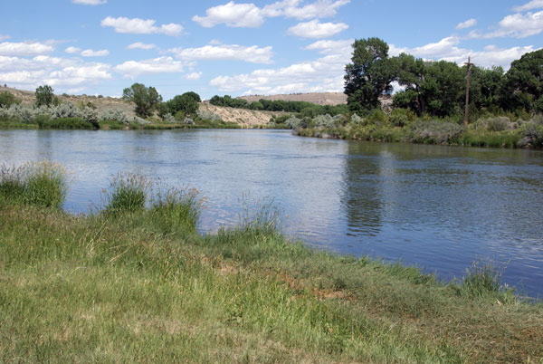
The emigrants had been basically following the Platte River and the North Platte River from mid-Nebraska to here. This was the last crossing of the North Platte. From here it is about 50 miles of arid desert and no water until they reached the Sweetwater River at Independence Rock. At 15 miles per day, that is a 3 day journey with no water.
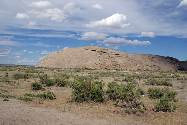
Independence Rock was a prominent landmark along the trail and marked where they came to the Sweetwater River. If emigrants got to Independence Rock by Independence Day (July 4) they were considered to be on schedule to get over the Sierras in California before the winter snows set in and made travel impossible.

The Sweetwater was well-named; it was cold, clear, and refreshing.
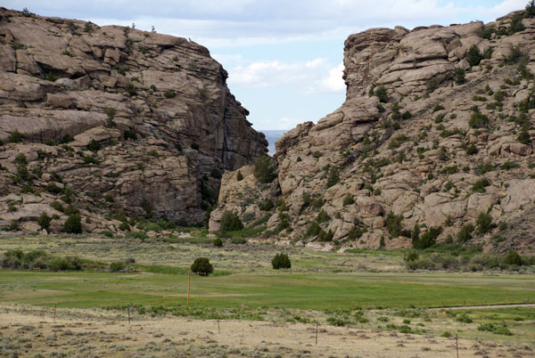
Devil's Gate, where the Sweetwater cut a narrow canyon in the bluffs, was a prominent landmark for the emigrants. Fortunately, they could go around the bluffs.
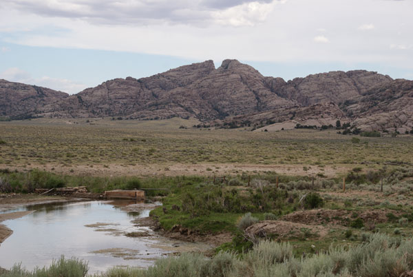
This cleft in the mountains, called "Split Rock", was another landmark for the emigrants on their way to South Pass on the continental divide.