Bryce
Canyon National Park
Sept. 28-30, 2006
After a few days in
Salt Lake
City we headed for Bryce Canyon National Park in southern Utah. By
western standards it is a small park, but has rather unusual rock
formations.
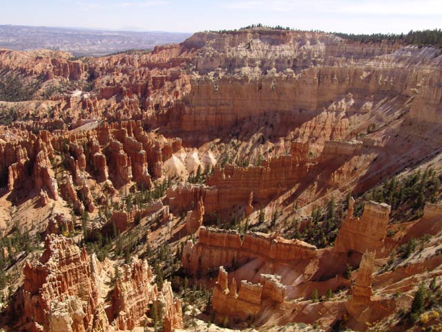
The rock formations are caused by erosion due to water, wind, and
freeze-thaw cycles. You see very elaborate forms with vertical walls,
pillars, and strange looking figures called "hoodoos".
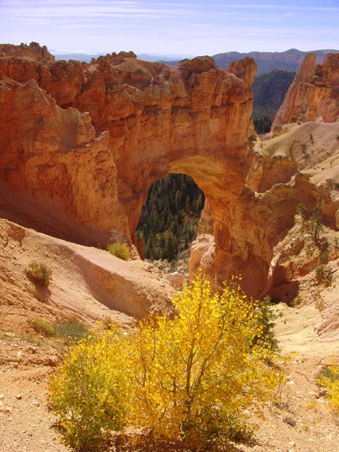
This is named "Natural Bridge", but the park service points out that it
is actually a "window", not a natural bridge, since it was formed by
wind and freeze thaw of a thin spot in a rock wall. According to their
definition, natural bridges are formed by flowing water.
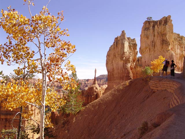
The parts accessible by automobile are along the rim of the canyons. To
get below the rim and see things from a different perspective, you have
to hike down into the canyons. We took a couple of hikes below the rim
to see the rock formations "up
close and personal". Note the slender spire; it is called the
"sentinel". I can imagine that, because of continuing
erosion, it
will not stand much longer.
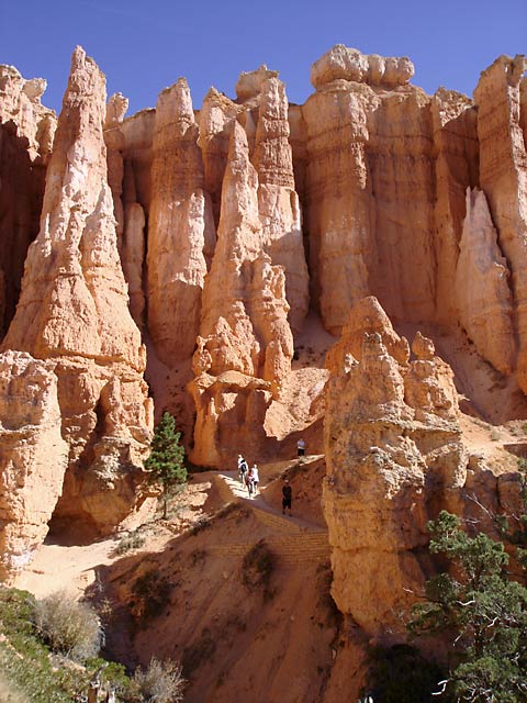
The rock formations are fascinating, as well has huge, making people
seem like dwarfs. The beauty of it all draws you
deeper, and
lower, into the canyons, making it more work to hike back to the RV.
But it was worth the effort.

The hoodoos can have really weird shapes, with some resembling people.
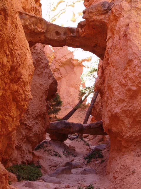
A couple of natural bridges, one almost directly above the other.

This old pine tree has a rather convoluted trunk and branches. Trees
here subsist on very little moisture; the area gets about 65" of snow
and 12" of rain per year.
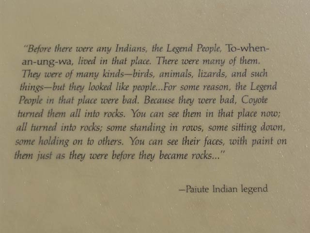
In case you are wondering how the area was formed, here is the local
Indian legend. Sounds reasonable to me (:-).
The park is named after Ebenezer Bryce, one of the early homesteaders
in the area. His homestead adjoined the canyon, so people started
calling it Bryce's Canyon. His comment on the canyon was, "It is a
helluva place to lose a cow."
Next we head for Zion National Park, further south in Utah.


