We crossed over the Confederation Bridge between New Brunswick and Prince Edward Island (PEI) and headed for the western end of the island. Our impression of PEI is that it is largely farming, with gentle hills and a lot of coastline; you are never very far from the sea, or a bay.
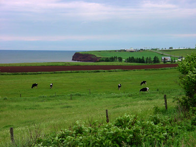
A typical farm scene on the PEI coast. There is not a lot of wave action at
the shore, since PEI is bounded by the Northumberland Strait and the Gulf of
Saint Lawrence and hence is shielded from the Atlantic Ocean.
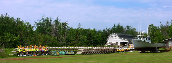
We saw lots of farms with fishing boats, floats, and fishing traps in the yard. It
seems that many farmers supplement their farm income by fishing, or supplement
their fishing income by farming - I'm not sure which.
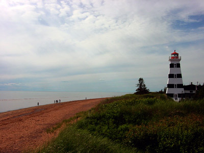
The lighthouse at West Point. This light house is also an inn where you can stay in either the lightkeepers cabin or in the lighthouse itself.
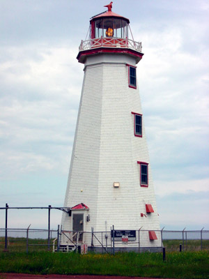
The lighthouse at North Cape, on the western tip of the island (PEI is shaped
like a crescent).

North Cape is also the location of the Atlanta Wind Power Test Site,
which is a research program run by the University of New Brunswick. Their
largest generators have a capacity of 660 kW; the total capacity of the entire
site is 5 MW, which is 2% of the electrical needs of PEI. It would take a
thousand of the large windmills that you see on the left to equal the output of
a single nuclear reactor. (I guess this reveals my biases).
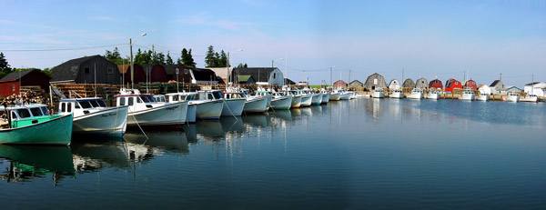
The harbor at Malpeque.
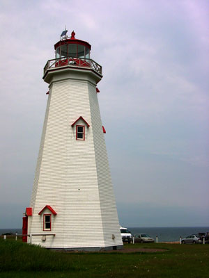
The lighthouse at East Point (the other tip of the crescent); this lighthouse was open for tours.
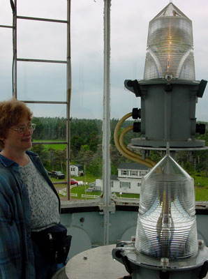
The East Point lighthouse, like probably all functioning lighthouses, is
currently automated and maintained by the Canadian Coast Guard. Nancy is admiring the
light currently in use. Could she be a "closet engineer"?
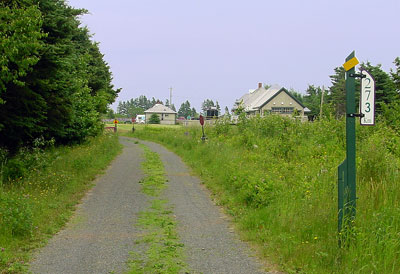
The Confederation Trail is a biking trail on the right-of-way of the former
Prince Edward Island Railroad. The trail runs down the middle of the island,
from one tip of the crescent to the other. This is at the Elmira end of the
trail (near the east tip); the other end is at Tignish, which is 273 km (170
miles) away by bicycle. The trail seems to be underutilized; we saw very few
people on it. We rode for a short distance along the trail, but found it boring
since trees and bushes had grown up on each side of the trail, blocking our view
of the countryside. It was like riding through a tunnel of trees.
Next we head for Nova Scotia, taking the ferry across the Northumberland Strait.