On the Road to Anchorage
July 10-11, 2015

Driving up the Richardson highway from Valdez, you soon pass through
Keystone canyon, which is very narrow and has some beautiful waterfalls.

Horsetail falls is quite pretty.
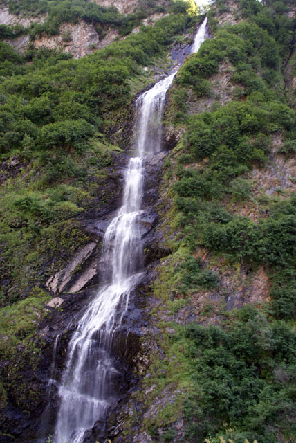
Only a short distance away is Bridal Veil falls.
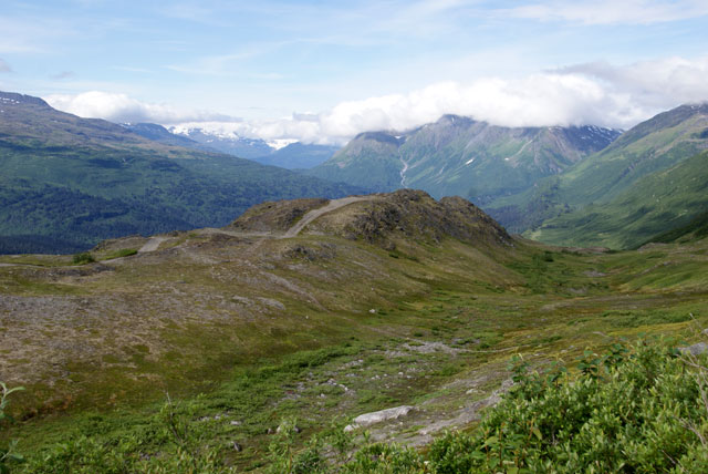
Reaching the summit of Thompson Pass you get this view of the
mountains. The dirt road seen in this view is following the "Trail of
'98". In 1898 a steamship company unscrupulously promoted Valdez and
the path over these mountains as an "All-American Route to the
Klondike". Several thousand men attempted to get to the gold rush in
the Klondike this way. But this route takes you over several glaciers
and was deemed impassable by native Americans living here. They got
bogged down in these mountains in winter and had to be rescued by the
army.
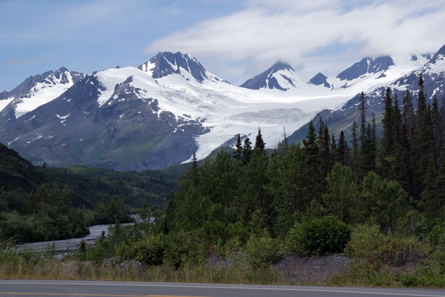
The upper part of Worthington glacier, one of the few glaciers in Alaska accessible by road.
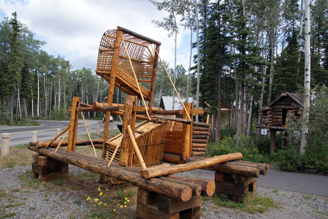
A fishwheel at the Ahtna Cultural Center in Wrangell-St. Elias National
Park. These are still used by indigenous natives along the Copper and
Yukon rivers. The force of the river current causes the wheel to
rotate. The open part of the basket faces downstream; salmon swimming
upstream to spawn swim into the basket (they can't see it because the
water is full of glacial silt in these rivers), are caught and slide
into the box on the far side.
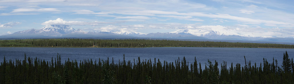
The Wrangell mountains. The tall peak on the left with its top obscured
by clouds is Mt. Drum. To the right is Mt. Sanford, which is largely
obscured by clouds. To the far right is Mt. Wrangell. The tallest of
these is Mt. Sanford at 16,237 ft, although it doesn't look like it
because it is farther away than the others. In the foreground is
Willow Lake.

The upper part of Matanuska glacier, as seen from the Glenn highway.
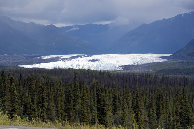
The lower part of Matanuska glacier. This part of the glacier is funny
looking (at least to me); it is fairly level and it looks like some
giant dumped a huge bucket of ice on the ground.