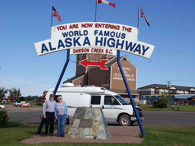
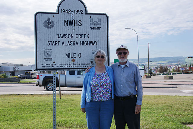
Dawson Creek is Mile Zero of the Alaska Highway. The other end of the highway is 1387 miles away at Delta Junction, AK. Over the years the route has been shortened; Delta Junction originally was 1422 miles away.

Seventeen miles up the highway is the Kiskatinaw bridge, which is the only wooded bridge from the Alcan still in use. It has the unusual feature of being curved. Because of the weight limit on the bridge, a more modern bridge was built a mile away in 1978 and the highway rerouted to it. This is now a byway.
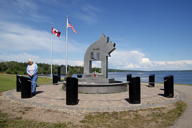
This monument at mile 51 honors 12 soldiers who drowned in Lake Charlie in May 1942. They were on a pontoon barge that sank in a storm; there were only five survivors.
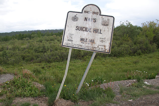
In celebration of the 50th anniversary of the Alaska Highway, the British Columbia provincial government erected historical signs along the highway. Unfortunately, they are showing their age and are not being maintained.
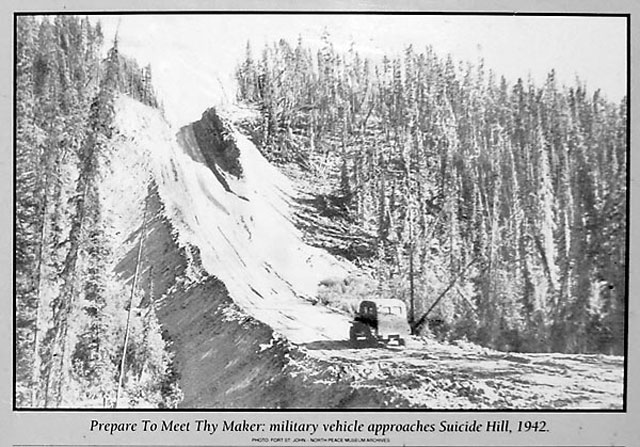
When the Army put in the highway they routed it around muskeg bogs which could swallow up vehicles. To avoid the bogs, they sometimes had to cross some horrific terrain. This is one example - "Suicide Hill" , as it was known at the time. There were several crashes and at least one person died on this hill. Now the highway goes over the bog, so we didn't have to drive up this hill. The photo is from a historical sign that I took 7 years ago; the sign is now very faded.
We spent the night in Fort Nelson, which is about 300 miles from Dawson Creek. In terms of animals sightings, the drive to Fort Nelson was a complete bust; we saw no animals of interest.
