
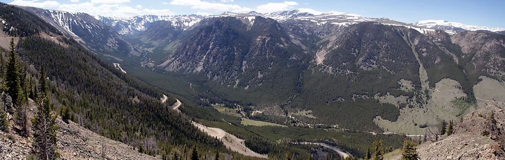
A view of the Absaroka range from the
Beartooth Highway.
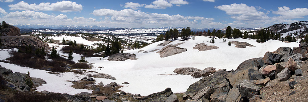
As we got higher we encountered a lot
of snow, and some of the little mountain lakes were just beginning to
clear the ice formed during the winter.
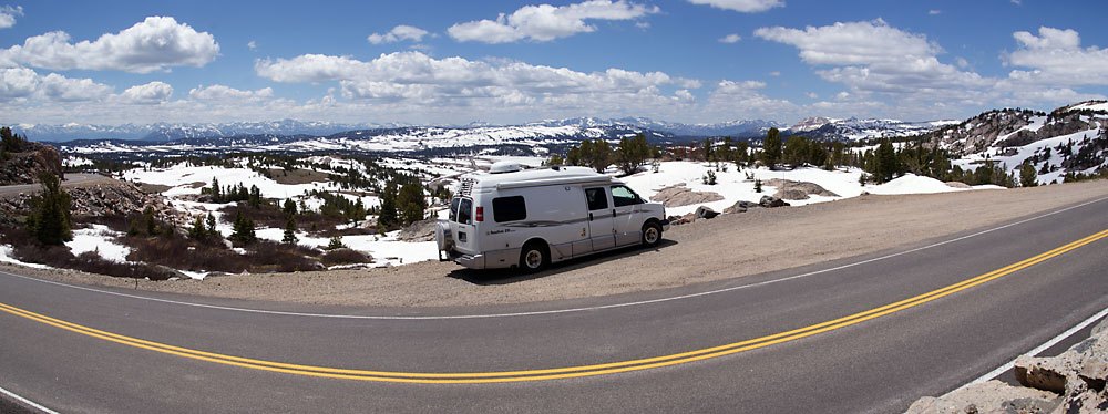
We have been over this highway once before - in early October 2003 -
and it was almost snowfree that time. It is much prettier this time of
the year.
Another panoramic view of the Beartooth range.
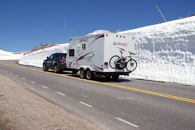
The snow removing equipment has to cut through this snow to open the highway. The wall of snow here is higher than this trailer.

Some snow cornices near the top. Most of the snow was on the southern portion of the highway; the part on the northern side had much less snow.

One of a few cyclists we saw on the Beartooth Highway. We don't know if he started from the bottom and rode the bike all the way up, or used a car to get to the top and then started the bike ride. Starting from the bottom would be roughly a 5,000 foot climb on the bike.
Looking down into the Montana side of the highway. The campground we are heading for is down there somewhere.
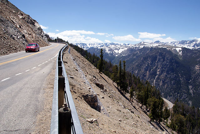
Heading down. Driving the Beartooth Highway is not for the faint-hearted. It also fully deserves the honor of being in the top ten scenic drives in America.