The Scenery of Denali
Aug. 9-15, 2008
The last web page focused on the Mountain. In this page we show some of
the other scenery of Denali National Park, and in the next web page we
show some of the wildlife photos we have taken.
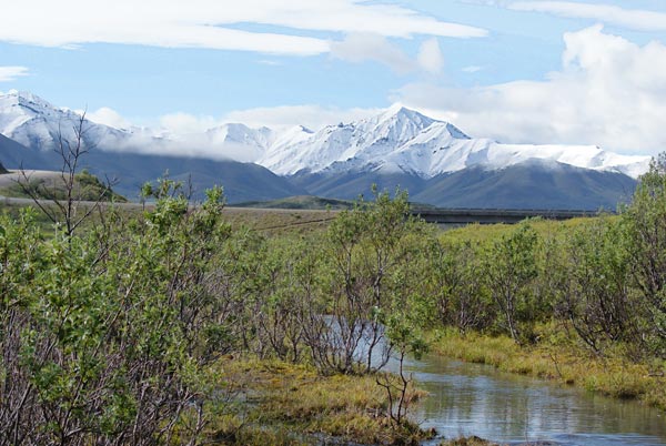
The Savage River area of the park. Because of a recent storm, snow
covered the peaks and ridges at about the 5,000 ft level. According to
one of the bus drivers, there was 5 inches of snow on the higher
sections of the park road, forcing a closing of those sections for part
of a day. By the end of our stay, most of the snow you see here had
melted. In RV jargon, fresh snow dusting the mountains in Alaska is
known as "termination dust", meaning it is time to terminate one's
visit to Alaska and head south.
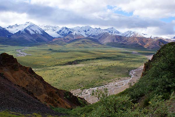
View from Polychrome Overlook. Across the valley is a white,
snow-covered glacier. A day later the snow had melted, revealing a
black gravel covering on the glacier ice. I had not seen a black
glacier before.
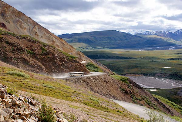
The park road cut into the side of Polychrome Mountain. The road is
narrow enough so that, when a bus meets an oncoming bus, one of them
has to stop at a wide spot while the other passes. Driving this road is
not for the faint-hearted; it is a long ways down to the valley floor
and there are no shoulders on the road. This is deep enough into the
park that RV traffic and private cars aren't allowed here. Polychrome
mountain is named for the fact that the rocks show many colors; the
mountain is of igneous origin, while the other mountains nearby are
sedimentary.
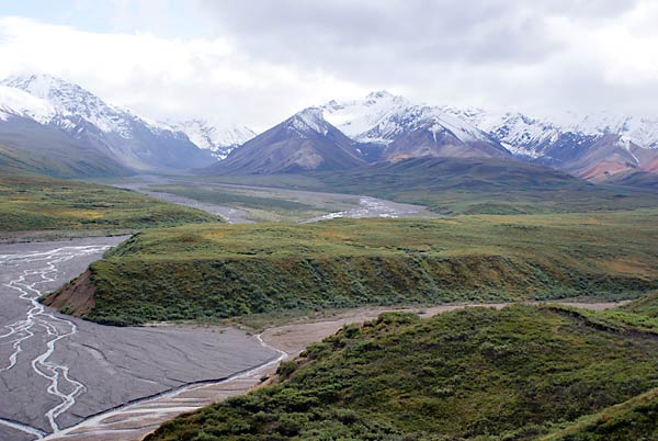
The east fork of the Tokalt River and a glacier-carved U-shaped
valley. Denali National Park is 6 million acres of wilderness
penetrated by only one road. This is wild country. In case you can't
visualize 6 million acres, it is larger than the state of New Hampshire.
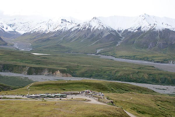
The new Eielson Visitor Center. It just opened in June of this year,
with their official opening celebration on Tuesday, Aug.12. I don't
know who planned the date, or when it was chosen, but their luck was
phenomenal, since the Mountain was out in full splendor all day (see
previous web page). In the new visitor center, buses park on the roof;
the building is built into the side of the hill, and is designed to be
eco-friendly.
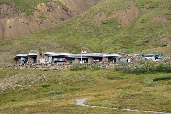
View of the Eielson Visitor Center from below. The building is off the
electrical grid; solar cells provide some of the power, although most
of it comes from hydroelectric generation using a small nearby stream.
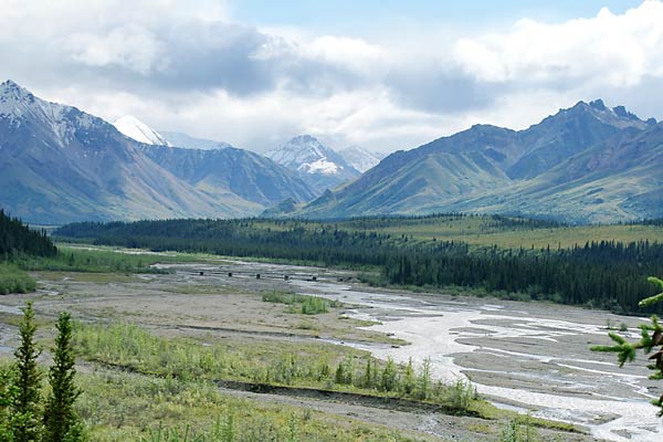
The Teklanika River, about one mile upstream from our campsite. Rivers
here are called "braided rivers", since they are formed of many
different channels in a flat gravel river bottom. The rivers carry a
lot of silt from the glaciers; the silt can deposit in the river
channels, daming up the channel and forcing the river to find another
channel. This is also bear country; on two of the four days here I saw
bears along the river at this spot, which is at a rest area for the
shuttle buses.